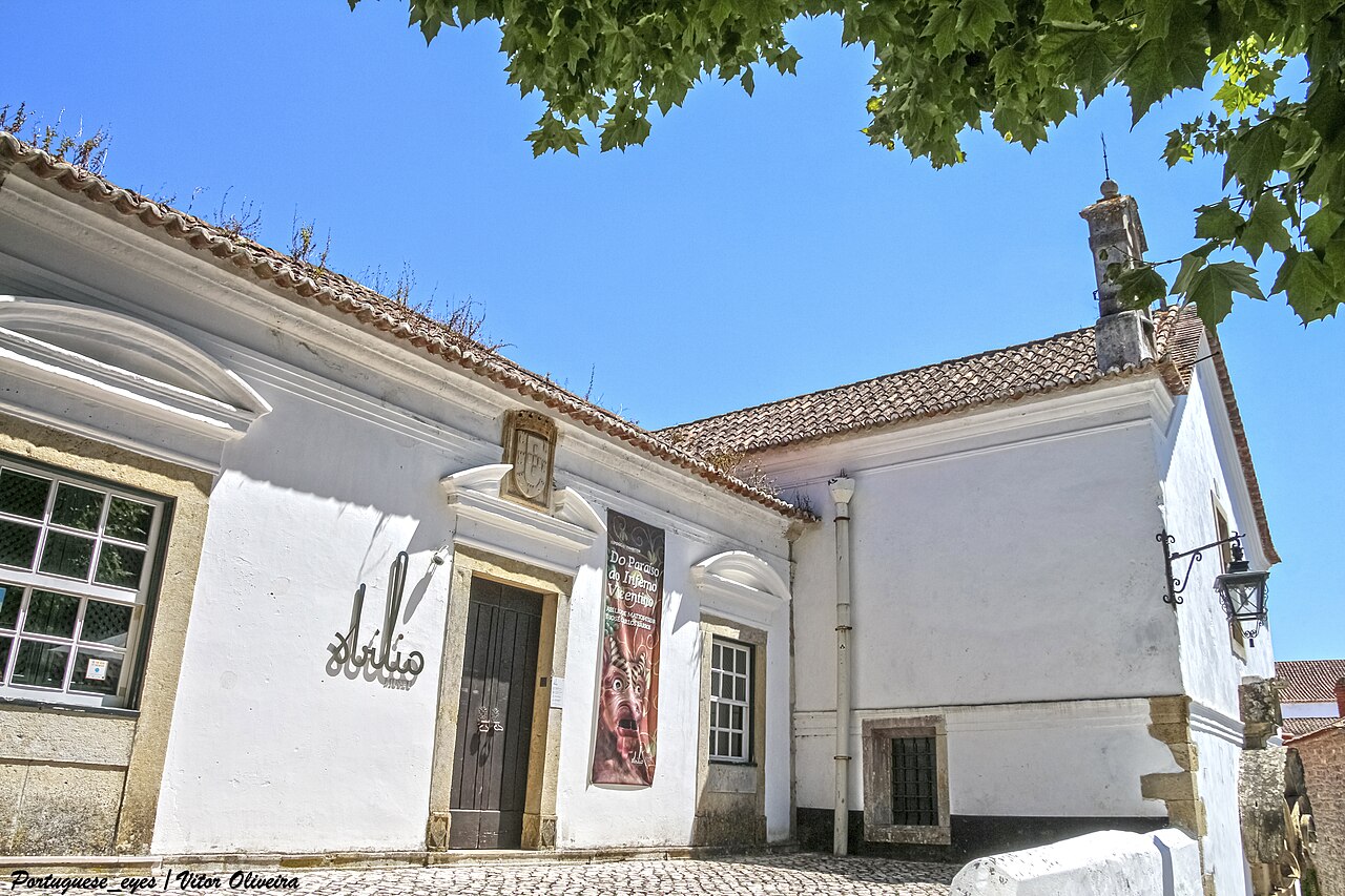
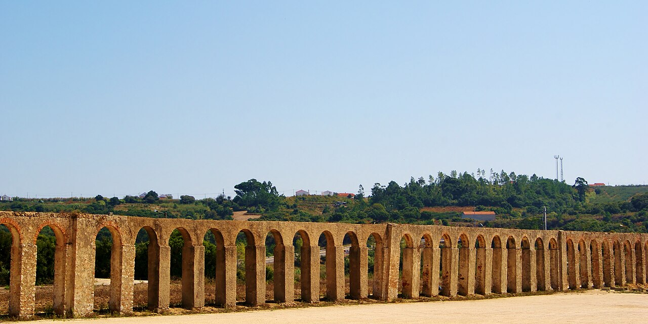
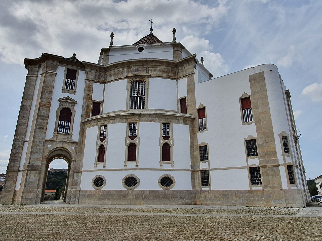
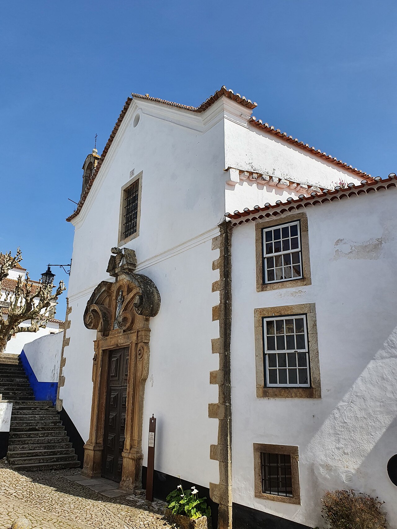
Eight places connect walls, art, worship and water. Plan the lanes inside and roads outside separately. Not every wall walk has protection; check access and weather before proceeding.
North is up; locations use recorded coordinates. Areas help organise your visit. This map does not show roads or walking routes.
Building reference points; numbered labels are moved for easier selection. Check entrances and visiting conditions on the building page.
Simplified geographic lines; view centred on the buildings. Coastline: OpenStreetMap (2026-10-23). Municipal outlines are reference data, not legal boundaries or navigation guidance.
Reference points come from the sources listed on each building page. Check visit conditions and public entrances before setting out.
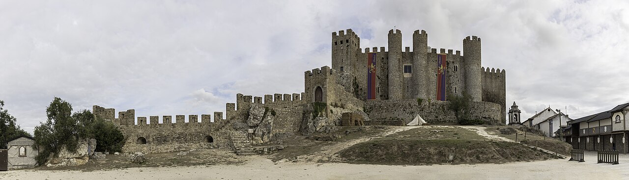
Óbidos Castle and Walls · Archive photograph · Photographed on 2021-09-09Photo source and licence