From red stone to stories of river and inland life.
Eight places span the castle hill, riverfront and São Bartolomeu de Messines. Seven are around Silves and one is in an inland town requiring separate transport. The municipality reaches the coast; this first selection does not cover all of it.
North is up; locations use recorded coordinates. Areas help organise your visit. This map does not show roads or walking routes.
Building reference points; numbered labels are moved for easier selection. Check entrances and visiting conditions on the building page.
Simplified geographic lines; view centred on the buildings. Coastline: OpenStreetMap (2026-10-23). Municipal outlines are reference data, not legal boundaries or navigation guidance.
Reference points come from the sources listed on each building page. Check visit conditions and public entrances before setting out.
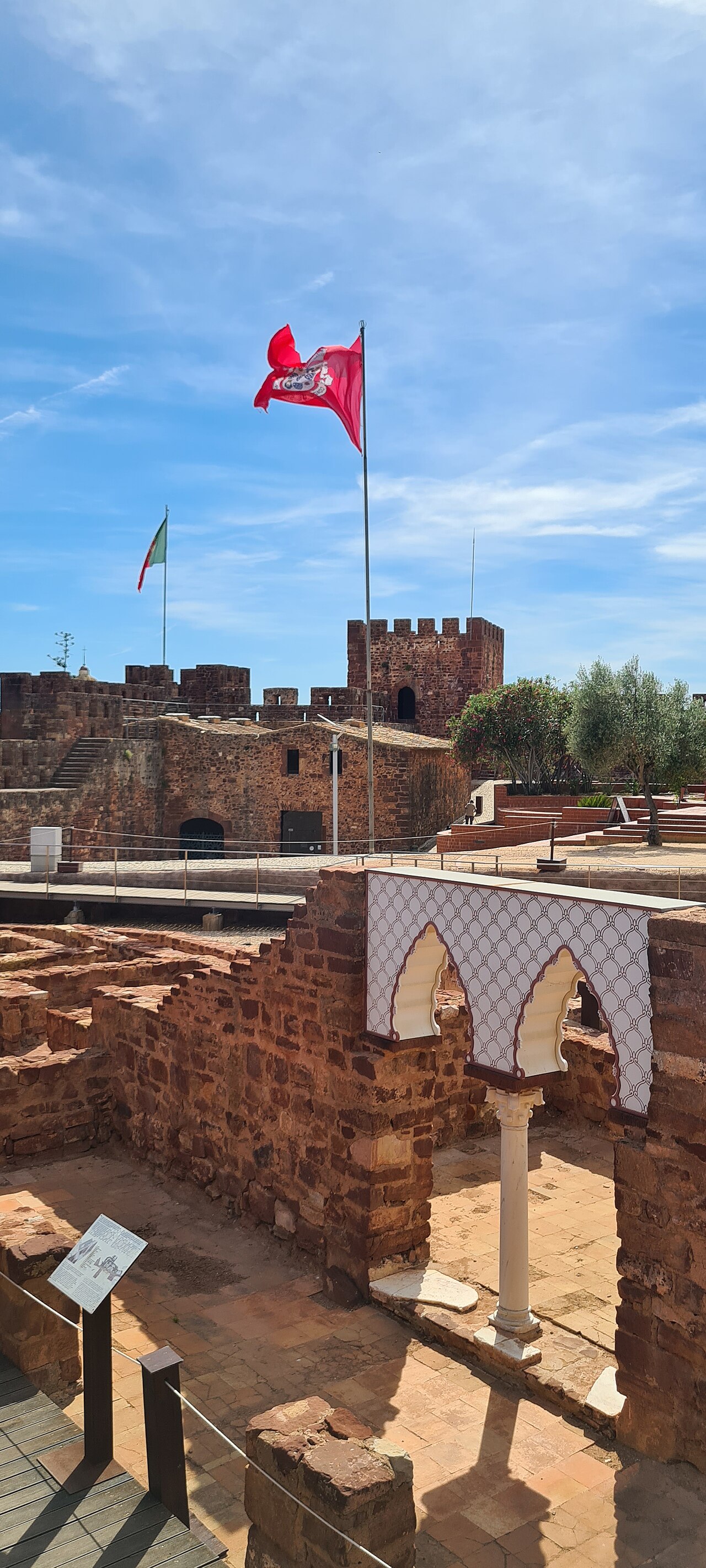
Silves Castle · Archive photograph · Photographed on 2023-05-08Photo source and licence
Kolforn ( Kolforn ) I'd appreciate if you could mail me (Kolforn@gmail.com) if you want to use this picture out of the Wikimedia project scope. This file is licensed under the Creative Commons Attribution-Share Alike 4.0 International license. You are free: to share – to copy, distribute and transmit the work to remix – to adapt the work Under the following conditions: attribution – You must give appropriate credit, provide a link to the license, and indicate if changes were made. You may do so in any reasonable manner, but not in any way that suggests the licensor endorses you or your use. share alike – If you remix, transform, or build upon the material, you must distribute your contributions under the same or compatible license as the original. https://creativecommons.org/licenses/by-sa/4.0 CC BY-SA 4.0 Creative Commons Attribution-Share Alike 4.0 true true · CC BY-SA 4.0