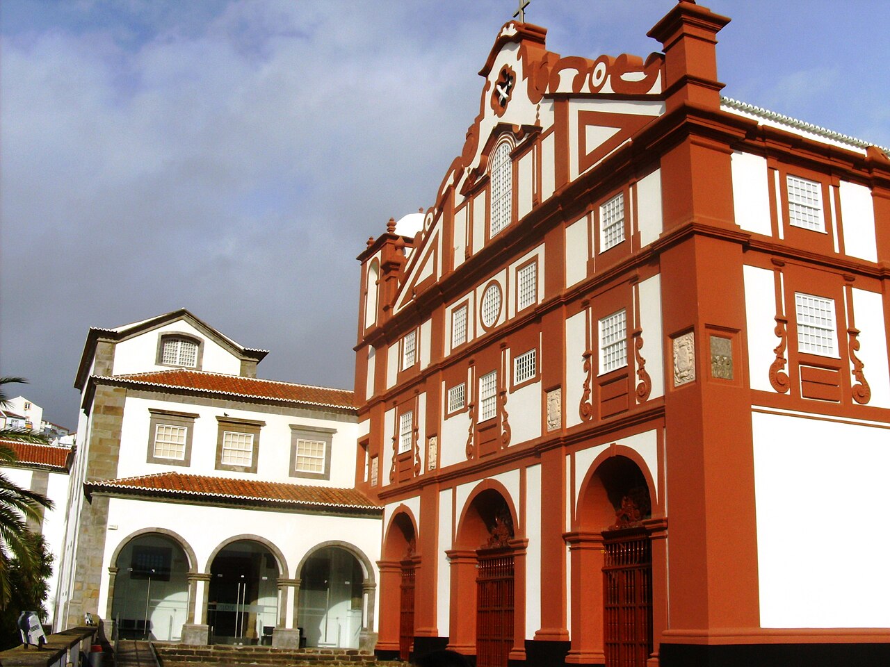
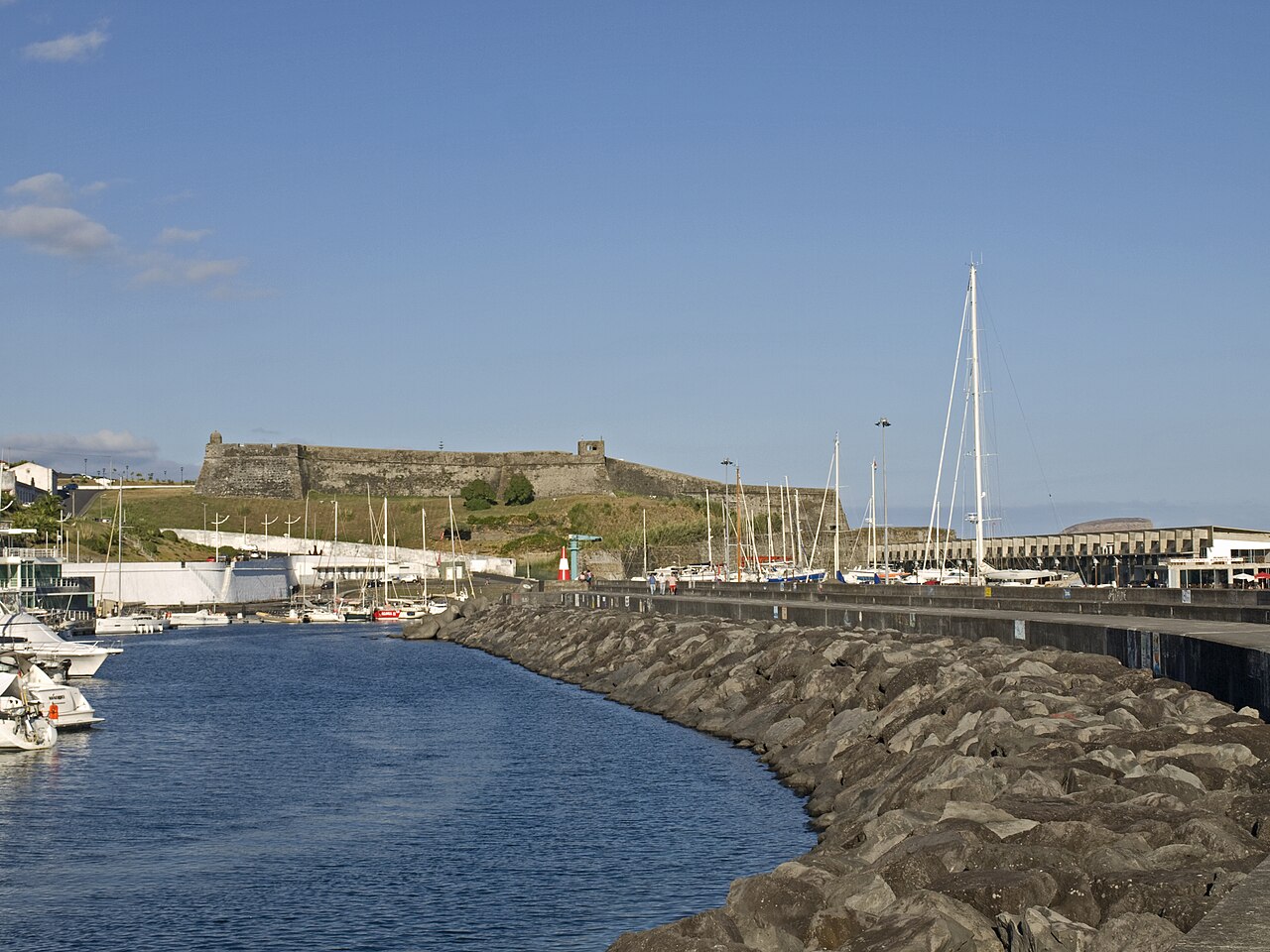
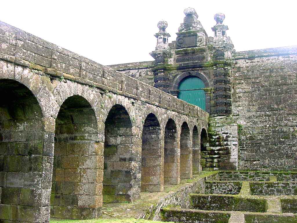
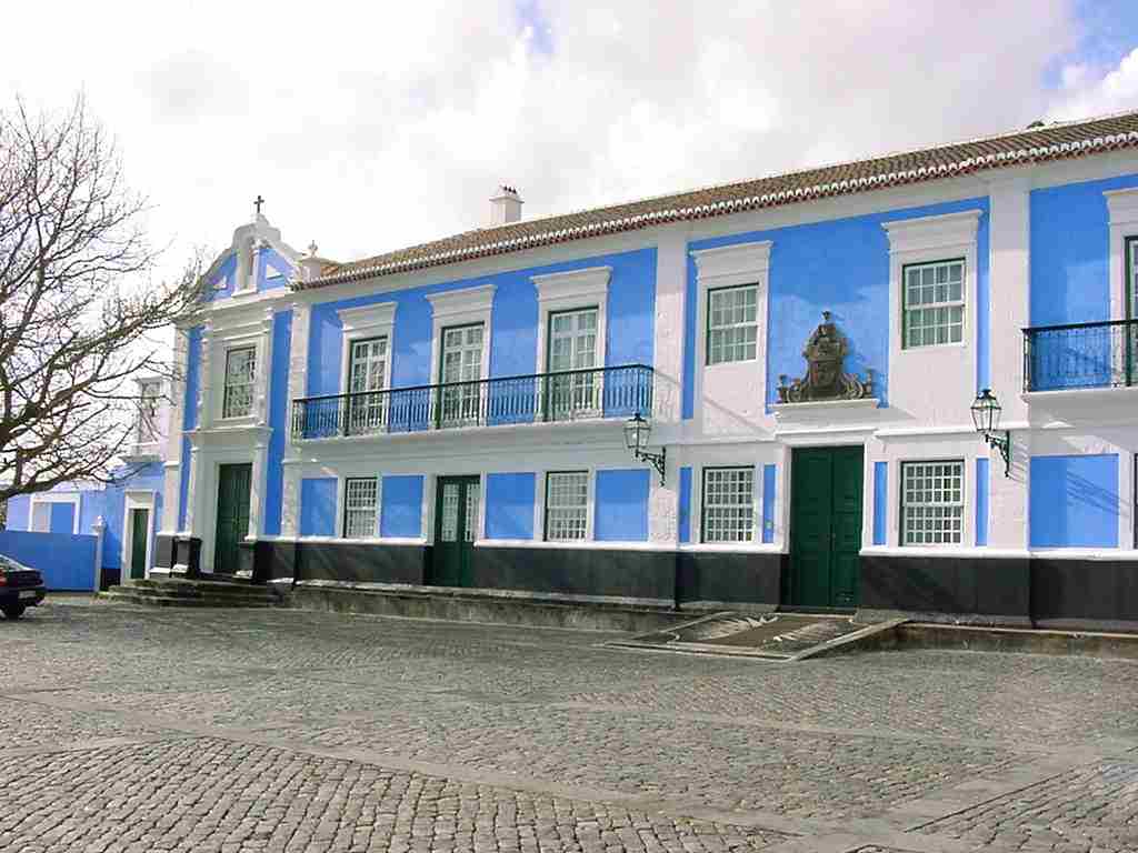
Eight places on Terceira connect cathedral, convents, palaces and coastal defence. Begin in the centre and plan the forts separately; straight-line distances do not explain slopes or military boundaries. This is an initial urban selection, not a route around the whole island.
North is up; locations use recorded coordinates. Areas help organise your visit. This map does not show roads or walking routes.
Building reference points; numbered labels are moved for easier selection. Check entrances and visiting conditions on the building page.
Simplified geographic lines; view centred on the buildings. Coastline: OpenStreetMap (2026-10-23). Municipal outlines are reference data, not legal boundaries or navigation guidance.
Reference points come from the sources listed on each building page. Check visit conditions and public entrances before setting out.
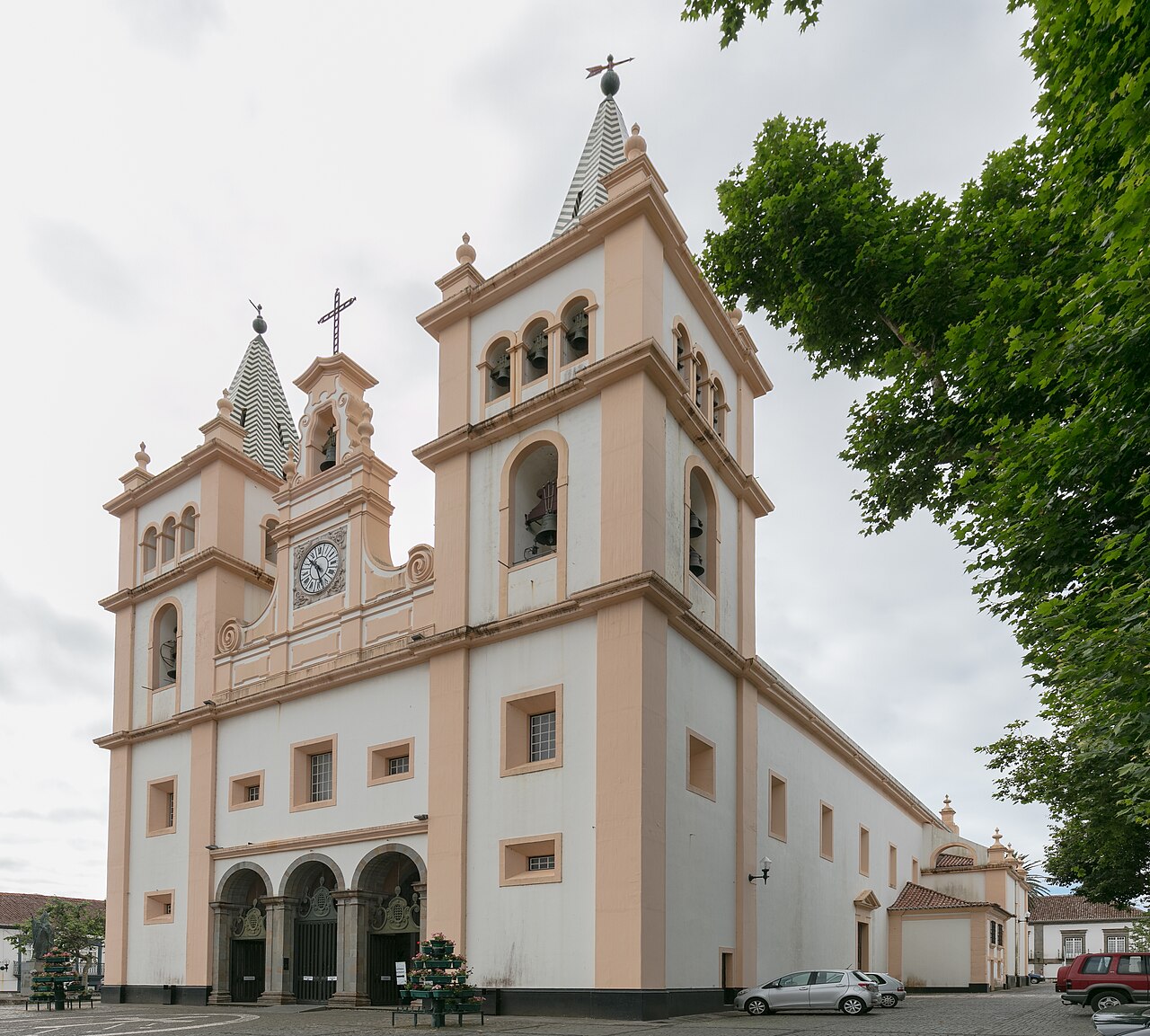
Angra Cathedral · Archive photograph · Photographed on 2020-07-25Photo source and licence