Six places connect Vila Baleira’s house-museum, church and fort with Graça, Portela and Campo de Baixo. Porto Santo is a separate island; confirm flights or sailings from Madeira. This map shows neither sea routes nor full-island coverage.
North is up; locations use recorded coordinates. Areas help organise your visit. This map does not show roads or walking routes.
Building reference points; numbered labels are moved for easier selection. Check entrances and visiting conditions on the building page.
Simplified geographic lines; view centred on the buildings. Coastline: OpenStreetMap (2026-10-23). Municipal outlines are reference data, not legal boundaries or navigation guidance.
Reference points come from the sources listed on each building page. Check visit conditions and public entrances before setting out.
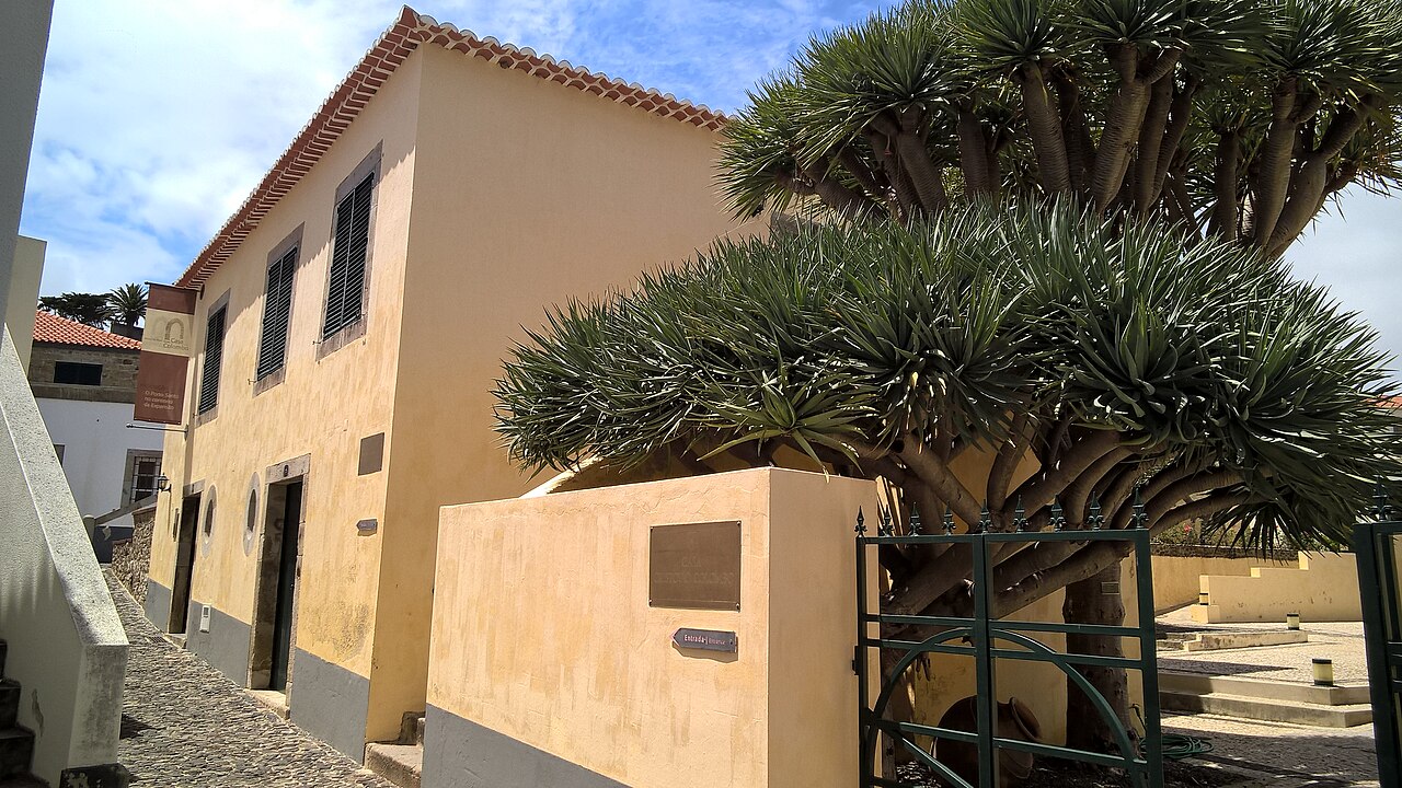
Casa Colombo — Porto Santo Museum · Archive photograph · Photographed on 2018-05-24Photo source and licence
Observe stone frames, doors and windows, then find an older element inside. Separate visible fabric from historical attribution in labels and keep one question open.
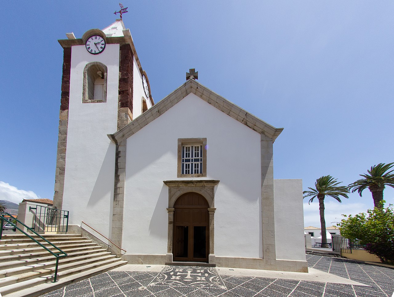
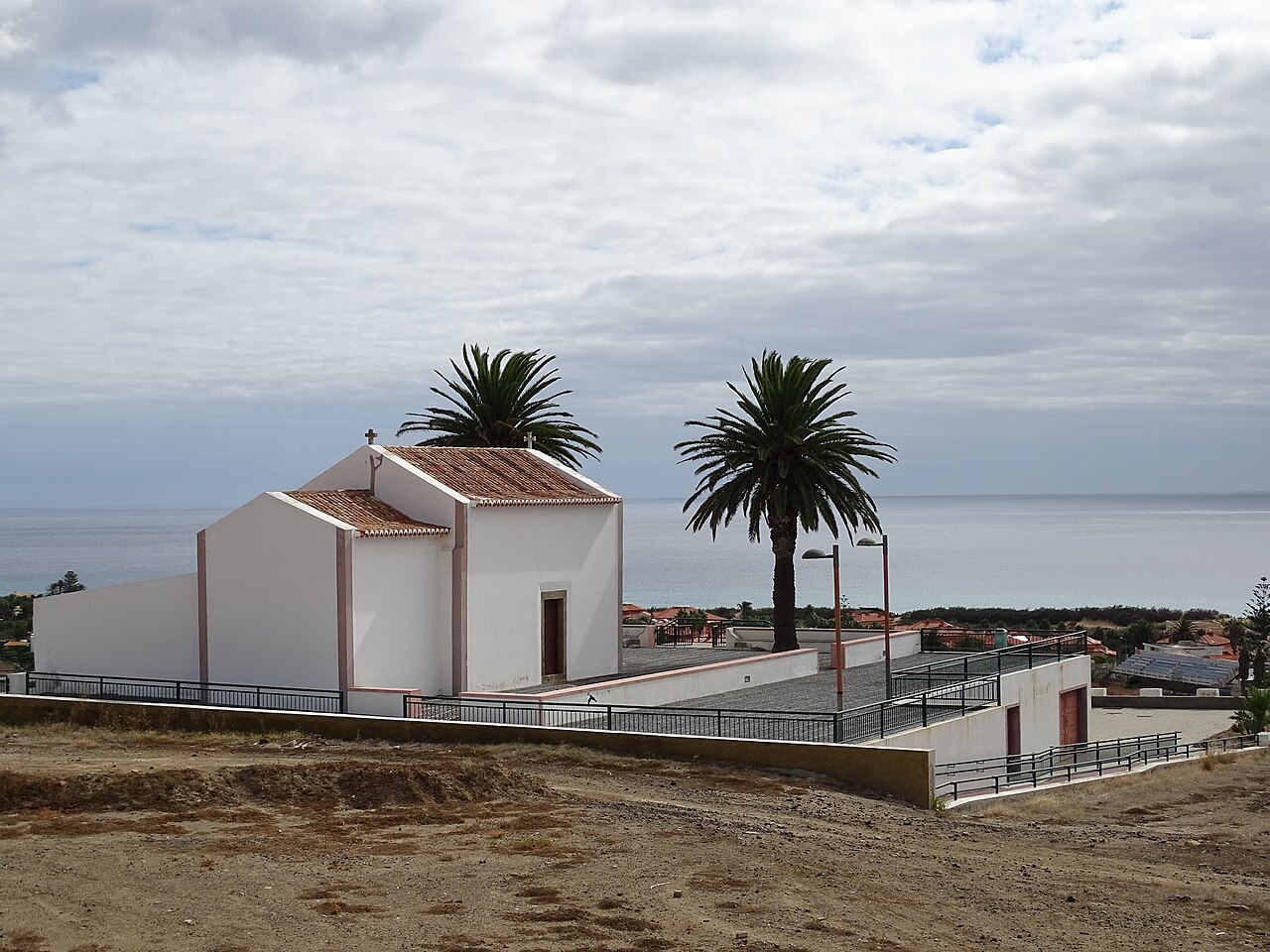
Read the story · Sit on the Bench →Nossa Senhora da Piedade Church · Archive photograph · Photographed on 2013-08-10Photo source and licence
Read the facade facing the square and, if permitted, compare the timber ceiling with the older chapel. How do materials from different periods coexist?
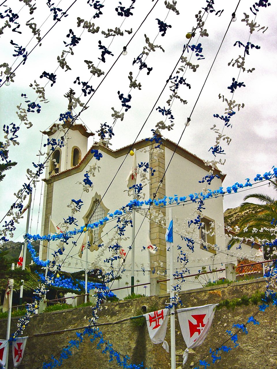
Observe the pebble paving before the chapel, its roof and surrounding open space. If open, compare interior carving with the restrained exterior scale.