Choose a number · lines connect to reference locations
DGT / CAOP
01 This stop · Temple and cathedral
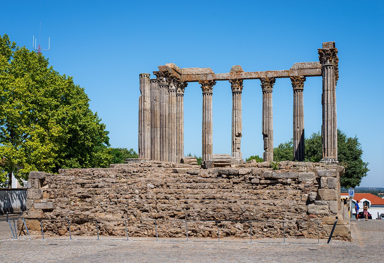
Roman Temple of Évora Observe columns and podium outside the barriers without climbing; compare the outline from another public viewpoint.
Read the story → Find a table → The Bench → Find the card below ↓ More in this area Other buildings in the same area, within 3 km in a straight line. Check entrances, slopes and opening before combining visits.
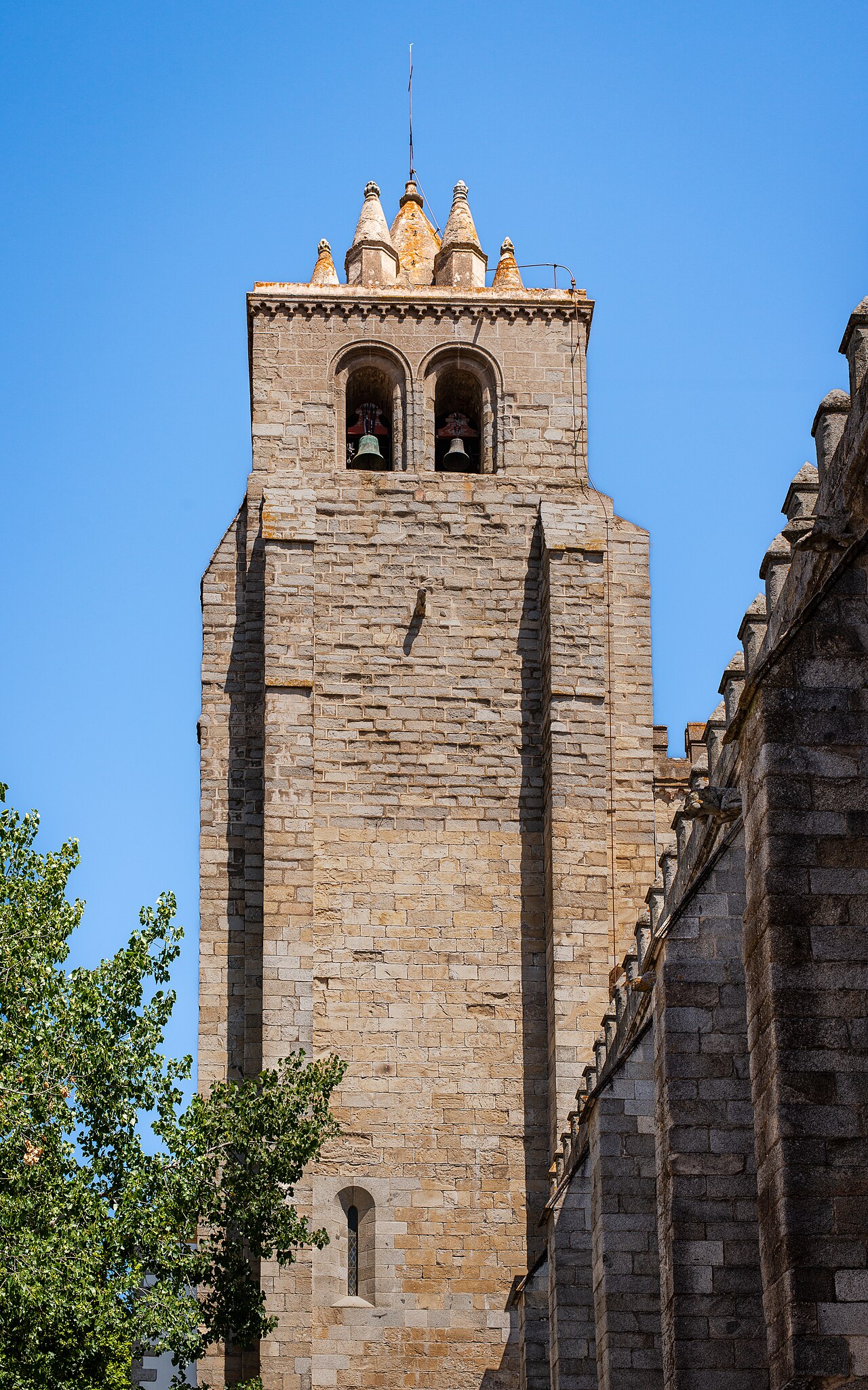
02 · Évora Cathedral Straight line · 112 m → Map notes and sources North is up; locations use recorded coordinates. Areas help organise your visit. This map does not show roads or walking routes.
Building reference points; numbered labels are moved for easier selection. Check entrances and visiting conditions on the building page.
Inland municipality. Simplified municipal outline centred on the buildings; not a legal boundary or navigation map.
Reference points come from the sources listed on each building page. Check visit conditions and public entrances before setting out.