Eight places: six in town, one in Caniçal and one in Porto da Cruz. The latter are separate settlements within the municipality and need their own transport plans. Straight lines do not navigate mountains, bays or tunnels.
North is up; locations use recorded coordinates. Areas help organise your visit. This map does not show roads or walking routes.
Building reference points; numbered labels are moved for easier selection. Check entrances and visiting conditions on the building page.
Simplified geographic lines; view centred on the buildings. Coastline: OpenStreetMap (2026-10-23). Municipal outlines are reference data, not legal boundaries or navigation guidance.
Reference points come from the sources listed on each building page. Check visit conditions and public entrances before setting out.
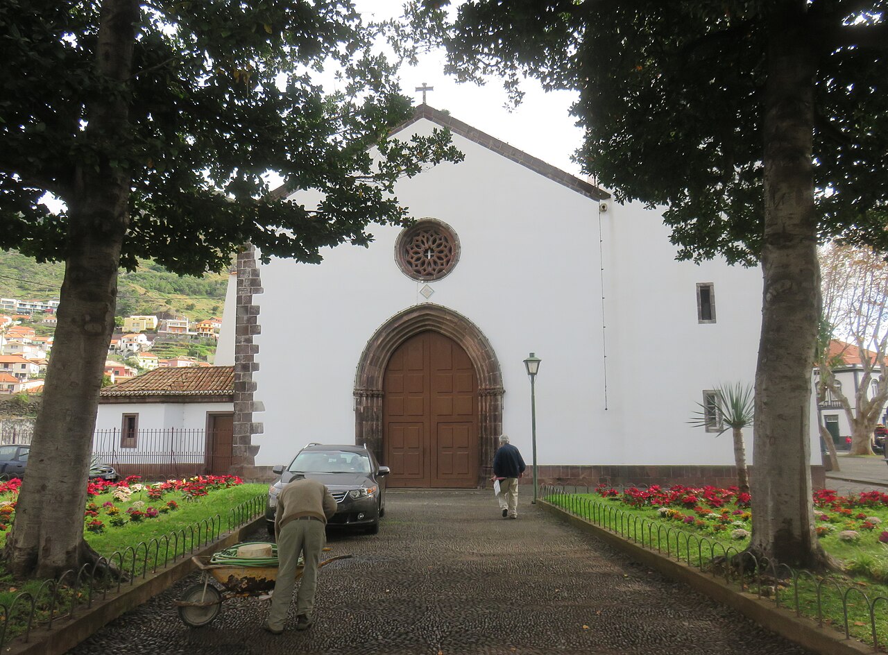
Nossa Senhora da Conceição Parish Church · Archive photograph · Photographed on 2019-01-29Photo source and licence
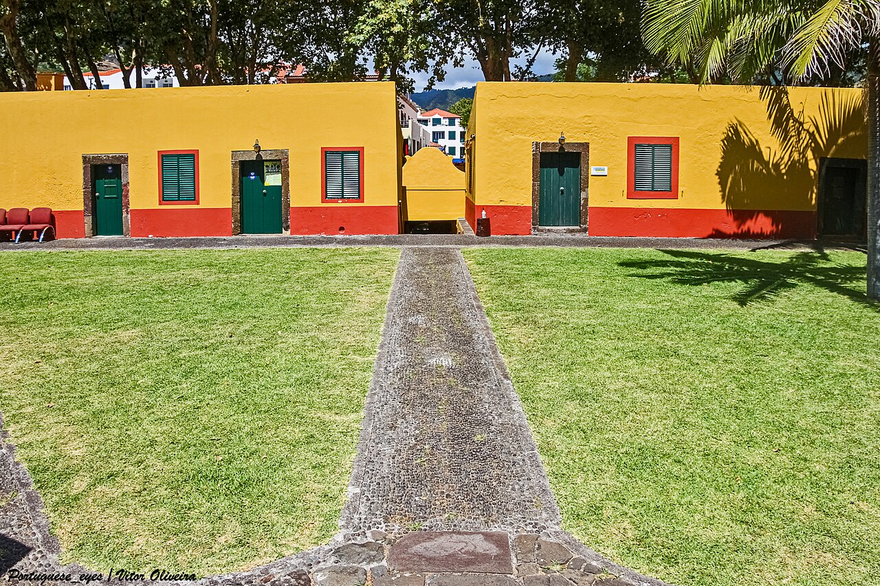
From the public square, read the low walls and corners, then look towards the bay. How does the triangular plan orient the fort? Respect permitted access.
From public space, identify supports and the old channel’s direction in relation to today’s streets. Follow the water with your eyes without climbing the ruins.
Observe the museum’s relation to Caniçal harbour. In open galleries, compare boats, tools and research: how do labour history and marine conservation coexist?
Read roofs, chimney and street. If authorised, follow the designated route to understand connections between machines. Distances and boundaries matter in a working factory.