Ten places span the centre, old town, Santa Clara hillside and Monte. Choose an area and allow for slopes and access arrangements; plan transport to Monte separately. This map covers neither the whole island nor walking or cable-car routes.
North is up; locations use recorded coordinates. Areas help organise your visit. This map does not show roads or walking routes.
Building reference points; numbered labels are moved for easier selection. Check entrances and visiting conditions on the building page.
Simplified geographic lines; view centred on the buildings. Coastline: OpenStreetMap (2026-10-23). Municipal outlines are reference data, not legal boundaries or navigation guidance.
Reference points come from the sources listed on each building page. Check visit conditions and public entrances before setting out.
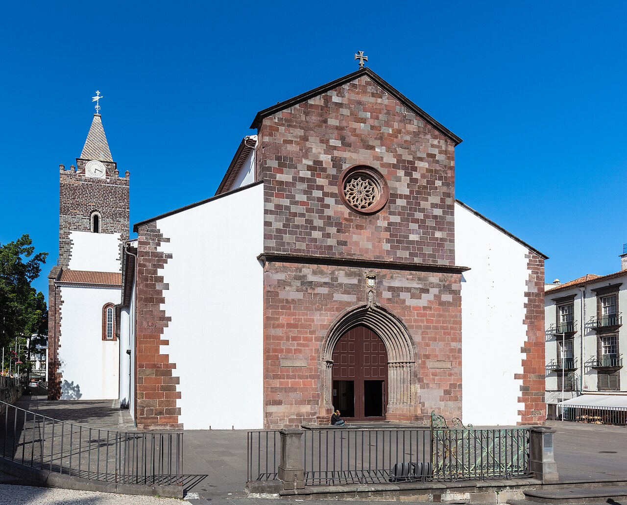
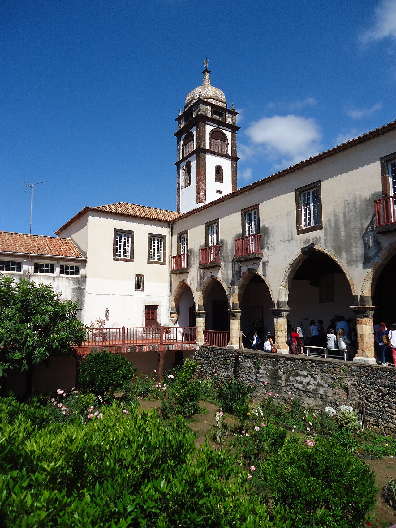
Funchal Cathedral · Archive photograph · Photographed on 2019-05-29Photo source and licence
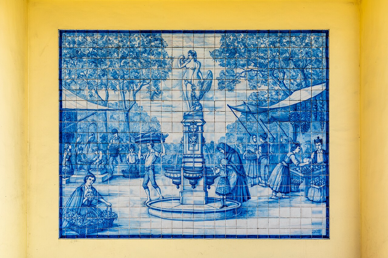
Look at the tile panels and how courtyard, floors and stalls connect. Keep service passages clear and read the market through the movements of people working.
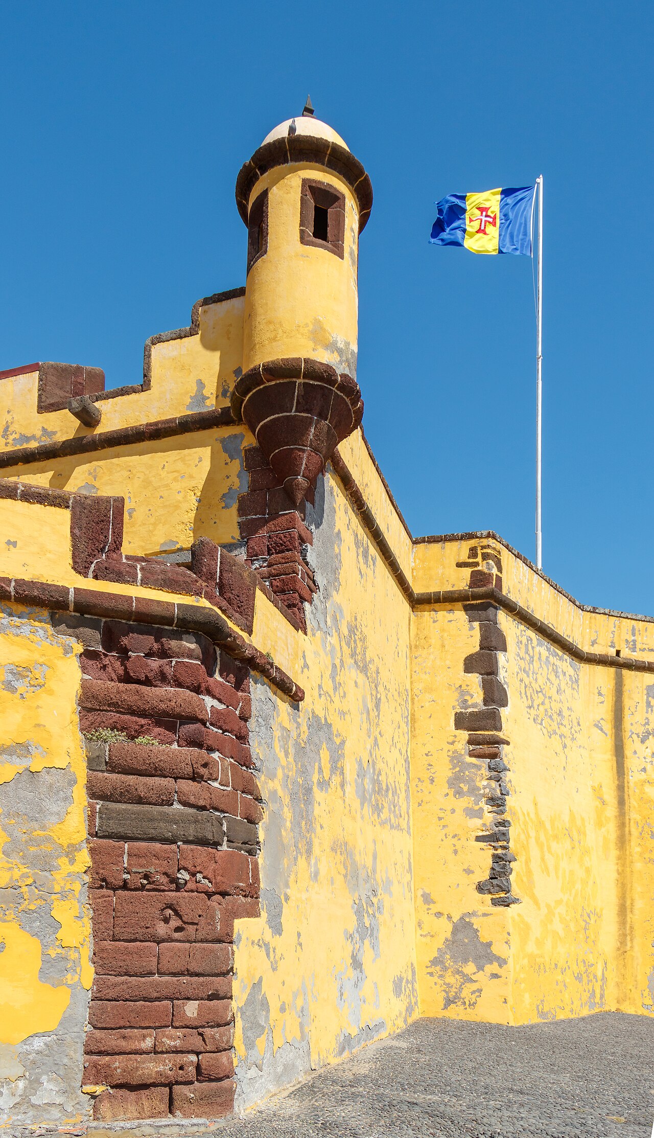
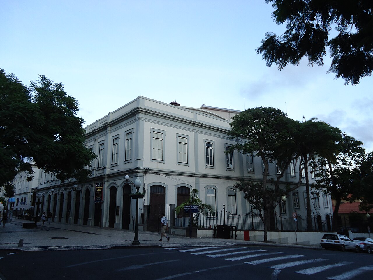
São Tiago Fortress · Archive photograph · Photographed on 2020-03-04Photo source and licence
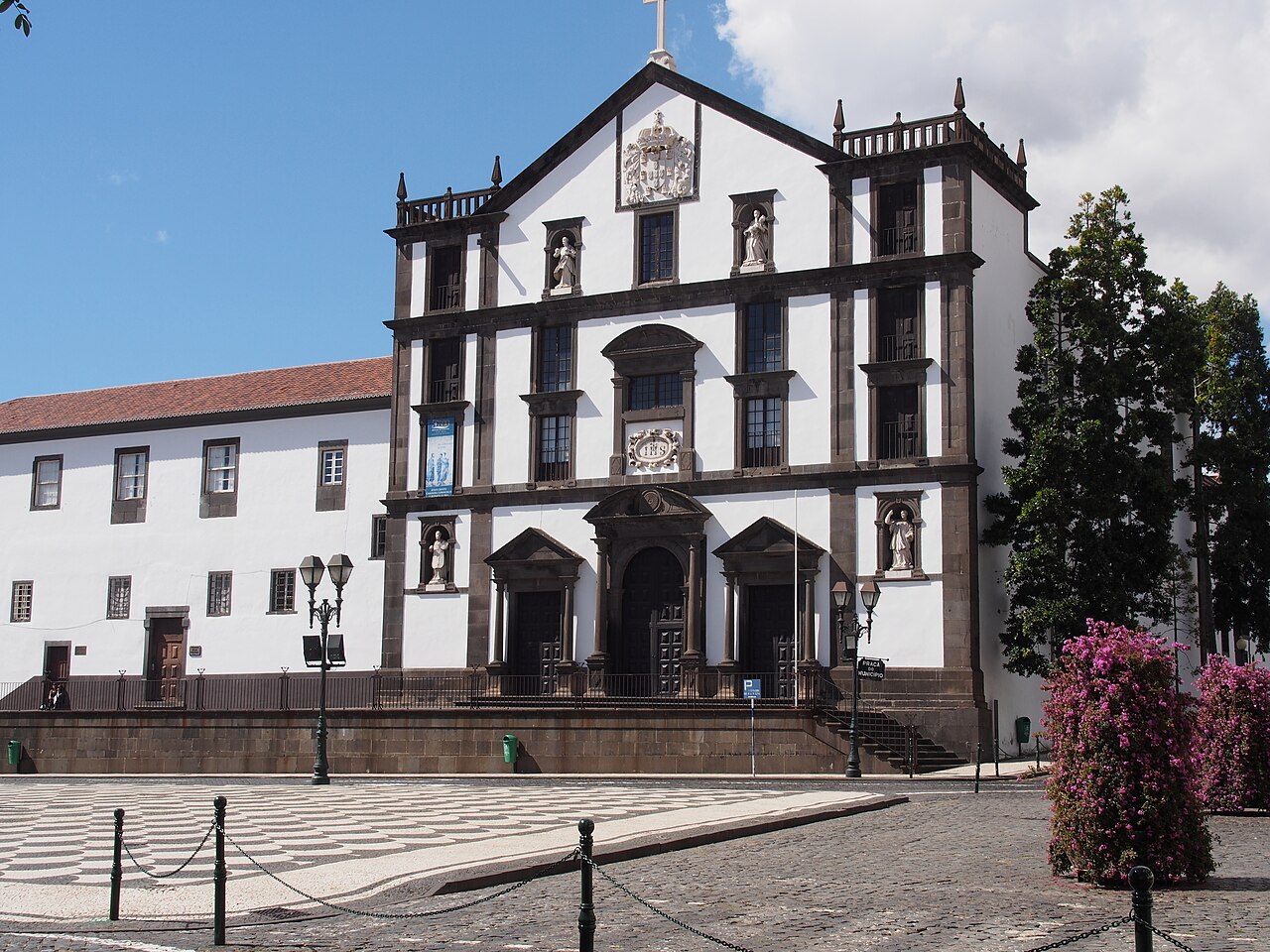
If visits are available, compare light and sound in street, entrance and cloister, keeping to open areas. How does the rhythm change around the courtyard?
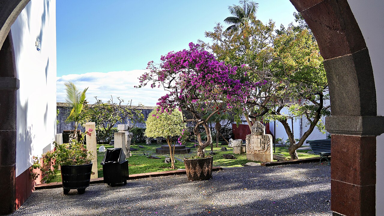
Quinta das Cruzes Museum · Archive photograph · Photographed on 2026-02-12Photo source and licence
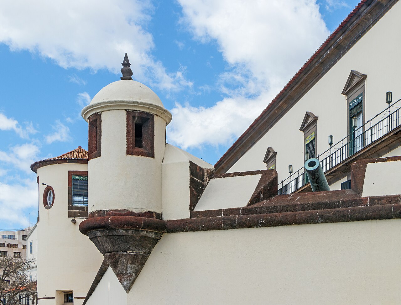
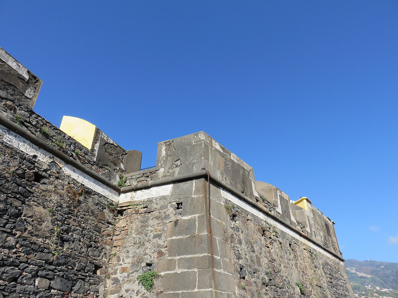
From permitted public roads, observe the fort’s position on the slope and the relationship between walls and city. While closed, keep to a safe public exterior.
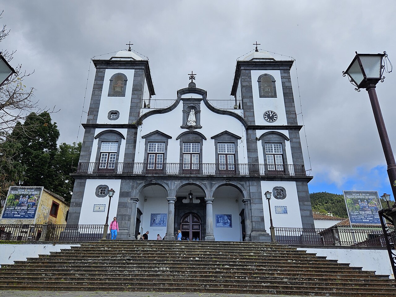
Nossa Senhora do Monte Church · Archive photograph · Photographed on 2024-02-23Photo source and licence
 XIAOXIONGMARKET← Madeira