North is up; locations use recorded coordinates. Areas help organise your visit. This map does not show roads or walking routes.
Building reference points; numbered labels are moved for easier selection. Check entrances and visiting conditions on the building page.
Simplified geographic lines; view centred on the buildings. Coastline: OpenStreetMap (2026-10-21). Municipal outlines are reference data, not legal boundaries or navigation guidance.
Reference points come from the sources listed on each building page. Check visit conditions and public entrances before setting out.
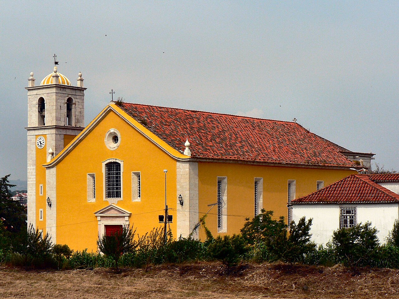
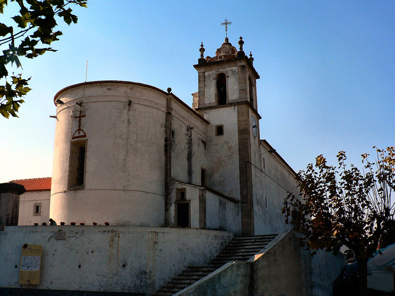
Igreja de Santa Maria de Loures · Archive photograph · Photographed on 2007-05-23Photo source and licence
From the square, observe tower and streets. Check worship arrangements before entering and notice how the columns guide the eye.
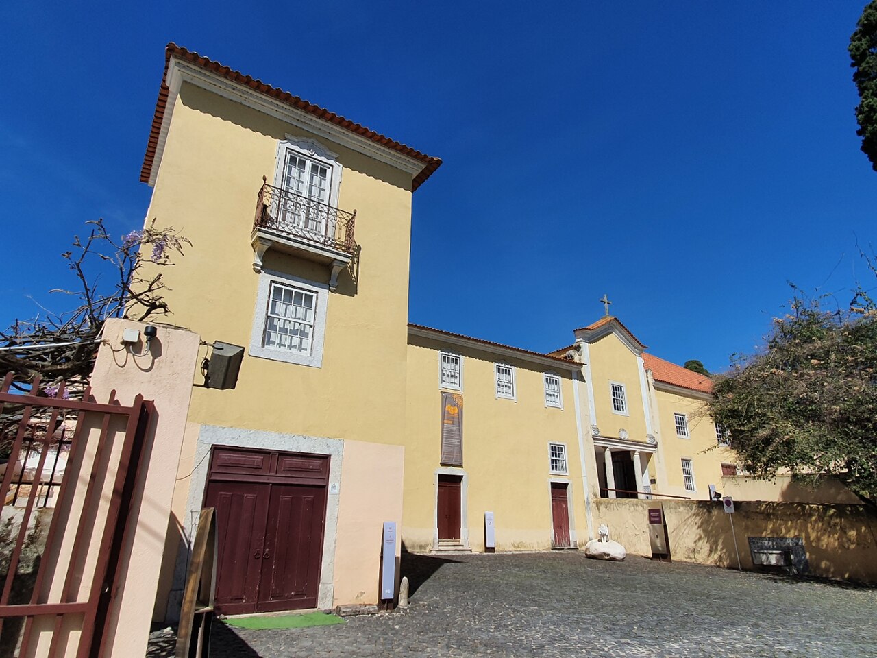
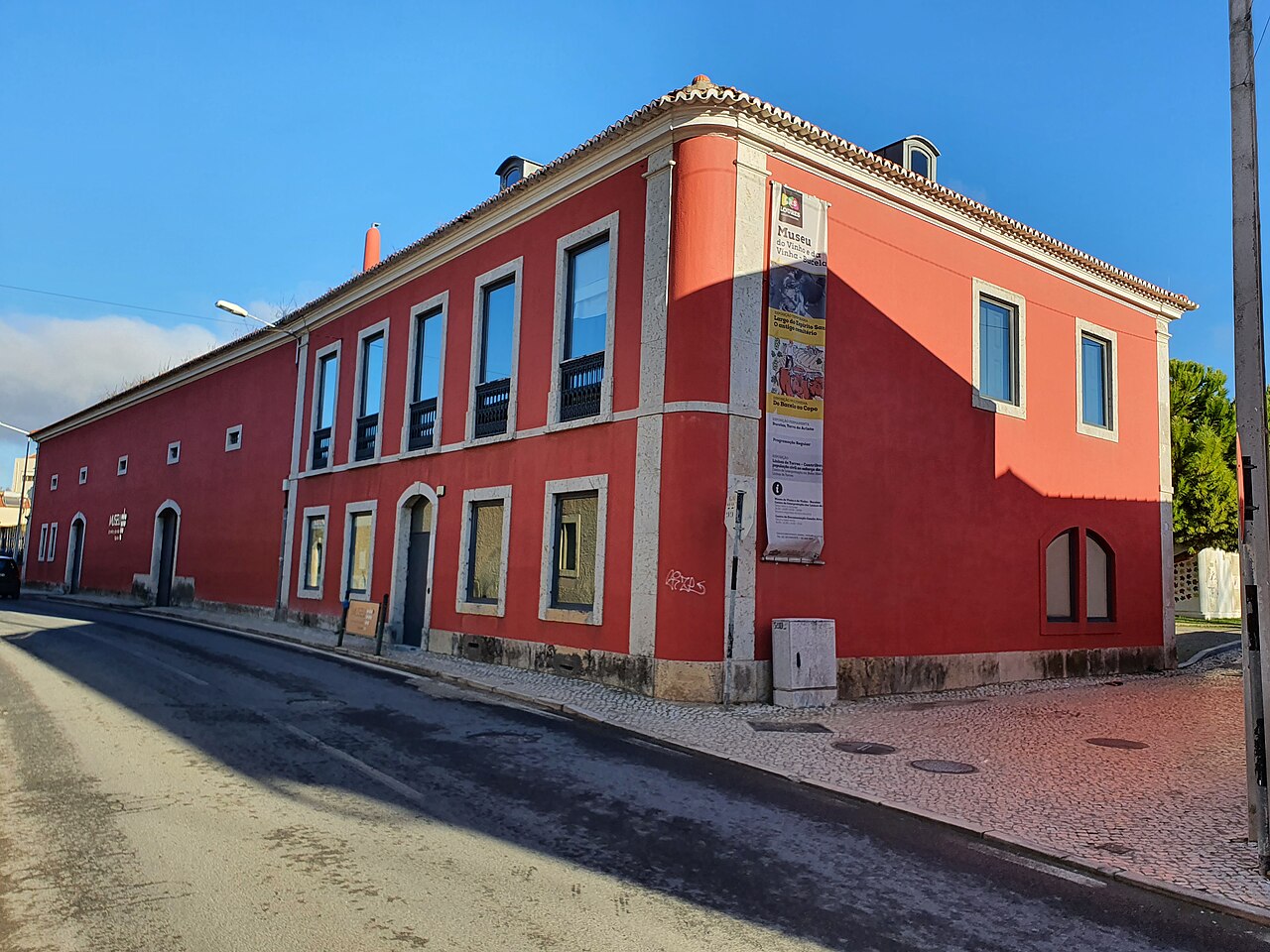
Read the story · Sit on the Bench →Quinta do Conventinho · Museu Municipal de Loures · Archive photograph · Photographed on 2023-03-19Photo source and licence
Once a booking is confirmed, compare courtyard and noble floor on the guided route. Without permission to enter, observe only from a safe public location.
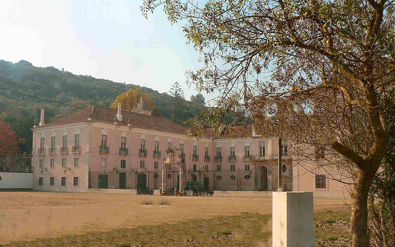
Read the story · Sit on the Bench →Palácio dos Arcebispos · Santo Antão do Tojal · Archive photograph · Photographed on 2023-04-22Photo source and licence
From the square, compare palace entrance, church and fountain orientations. Book interior visits and do not approach restricted areas to photograph users.
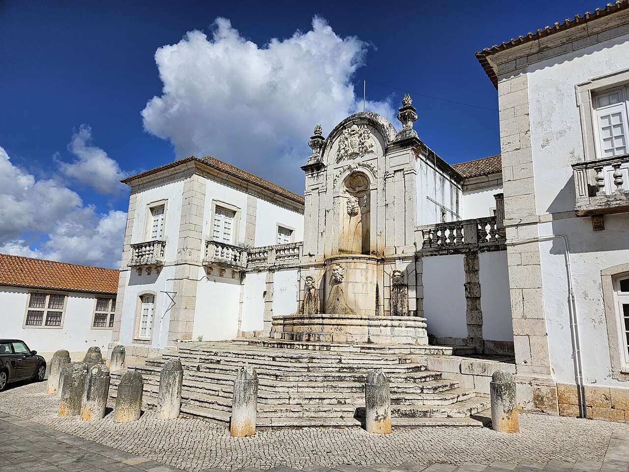
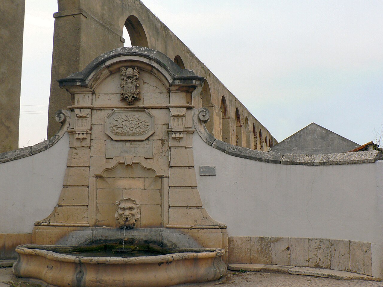
Read the story · Sit on the Bench →Aqueduto de Santo Antão do Tojal · Archive photograph · Photographed on 2007-05-23Photo source and licence
Follow one tool’s purpose through the labels and compare stages from grapes to wine. Check tasting events separately.
Read the story · Sit on the Bench →Igreja de Nossa Senhora da Purificação · Bucelas · Archive photograph · Photographed on 2007-11-14Photo source and licence