North is up; locations use recorded coordinates. Areas help organise your visit. This map does not show roads or walking routes.
Building reference points; numbered labels are moved for easier selection. Check entrances and visiting conditions on the building page.
Simplified geographic lines; view centred on the buildings. Coastline: OpenStreetMap (2026-10-16). Municipal outlines are reference data, not legal boundaries or navigation guidance.
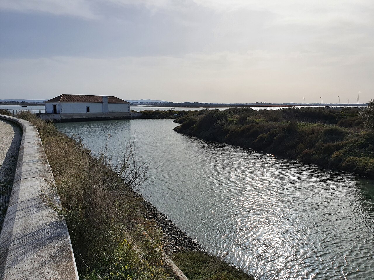
Look at the channel, mill and shoreline together. Confirm arrangements for interior visits; access to the waterfront does not mean the building is open.
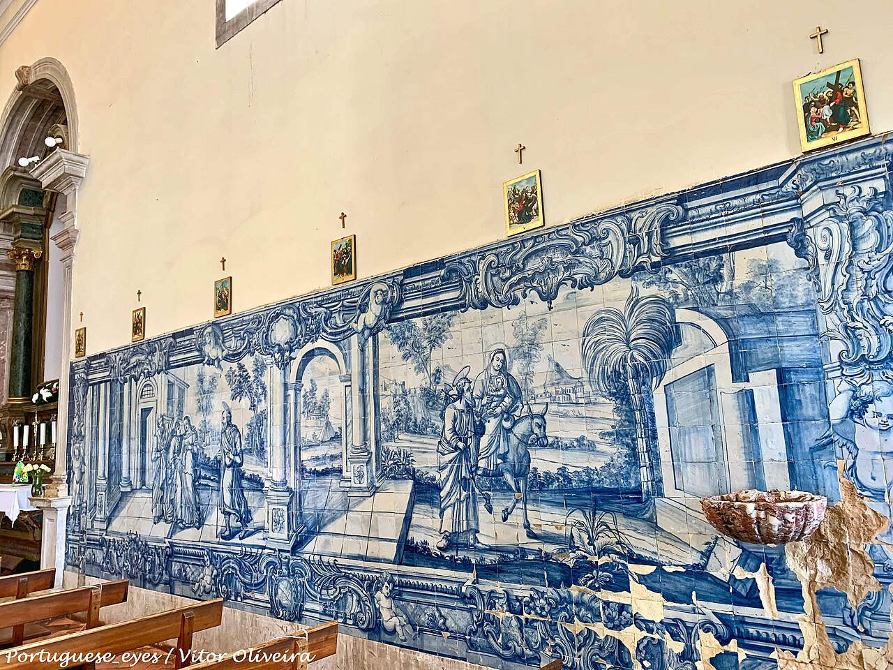
Santuário de Nossa Senhora da Atalaia · Archive photographPhoto source and licence
Vitor Oliveira from Torres Vedras, PORTUGAL · CC BY-SA 2.0
Connect votive objects with the space without turning devotional narratives into construction dates. Check festival dates separately from ordinary opening.
Showing 2 / 2
From a building · 3 km straight-line radius
A table nearby
Choose a building to discover places to eat nearby.