North is up; locations use recorded coordinates. Areas help organise your visit. This map does not show roads or walking routes.
Building reference points; numbered labels are moved for easier selection. Check entrances and visiting conditions on the building page.
Simplified geographic lines; view centred on the buildings. Coastline: OpenStreetMap (2026-10-16). Municipal outlines are reference data, not legal boundaries or navigation guidance.
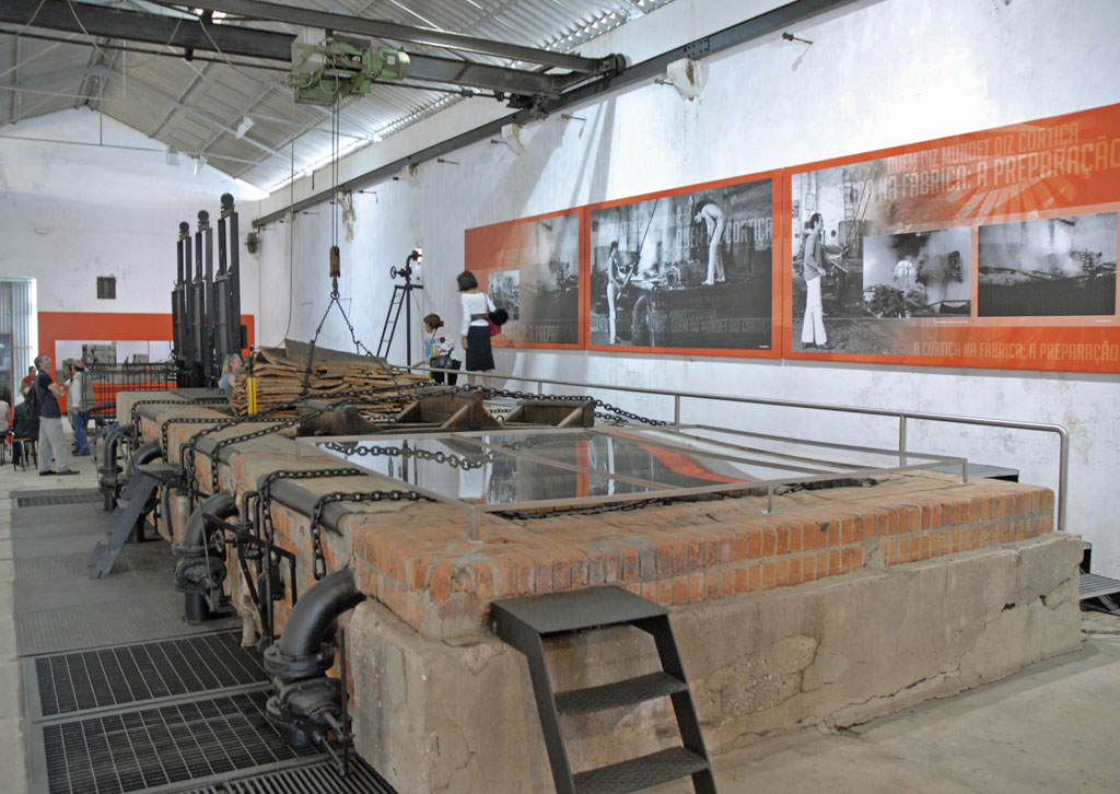
Read the factory as a system: where materials entered, where people worked and how machinery occupied space. Historical interior photographs do not establish current access.
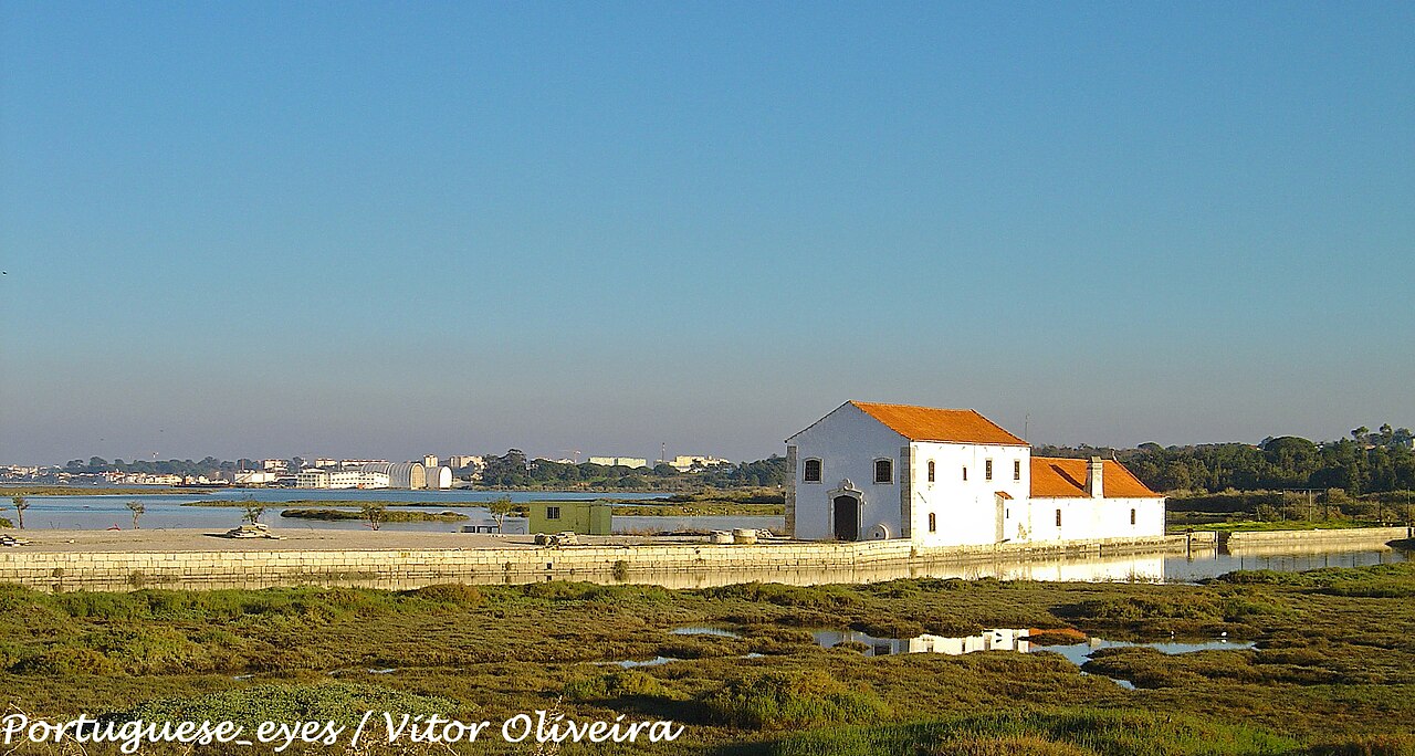
Moinho de Maré de Corroios · Archive photographPhoto source and licence
Vitor Oliveira from Torres Vedras, PORTUGAL · CC BY-SA 2.0