North is up; locations use recorded coordinates. Areas help organise your visit. This map does not show roads or walking routes.
Building reference points; numbered labels are moved for easier selection. Check entrances and visiting conditions on the building page.
Simplified geographic lines; view centred on the buildings. Coastline: OpenStreetMap (2026-10-16). Municipal outlines are reference data, not legal boundaries or navigation guidance.
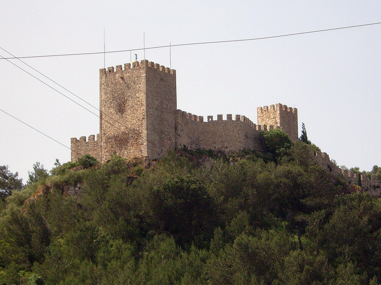
Looking toward the bay, consider both defensive advantage and the daily effort of climbing. Straight-line distance to the shore does not describe the walking route.
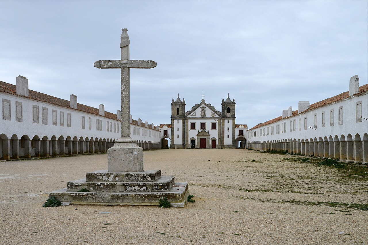
Santuário do Cabo Espichel · Archive photographPhoto source and licence