North is up; locations use recorded coordinates. Areas help organise your visit. This map does not show roads or walking routes.
Building reference points; numbered labels are moved for easier selection. Check entrances and visiting conditions on the building page.
Simplified geographic lines; view centred on the buildings. Coastline: OpenStreetMap (2026-10-16). Municipal outlines are reference data, not legal boundaries or navigation guidance.
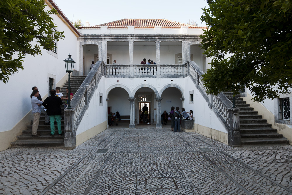
Start with the older north-facing wing overlooking the Tagus, then explore the rooms and gardens. Notice how doorways frame views, and distinguish the former chapel’s tiles from contemporary exhibits.
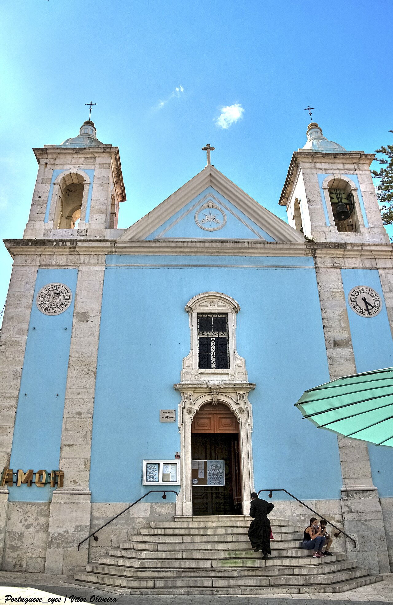
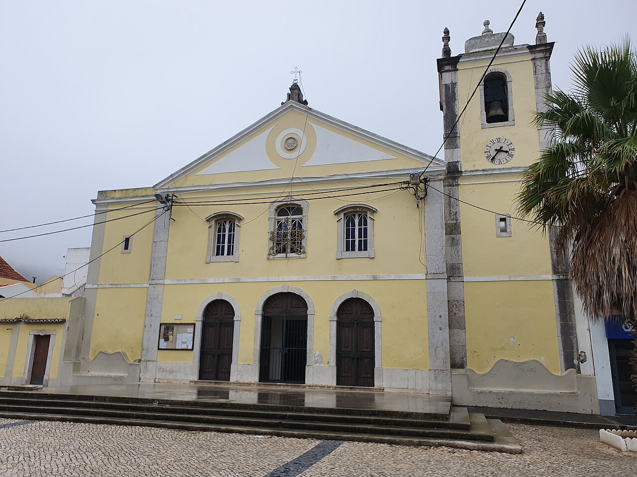
Igreja de Nossa Senhora do Bom Sucesso · Archive photographPhoto source and licence
Vitor Oliveira from Torres Vedras, PORTUGAL · CC BY-SA 2.0
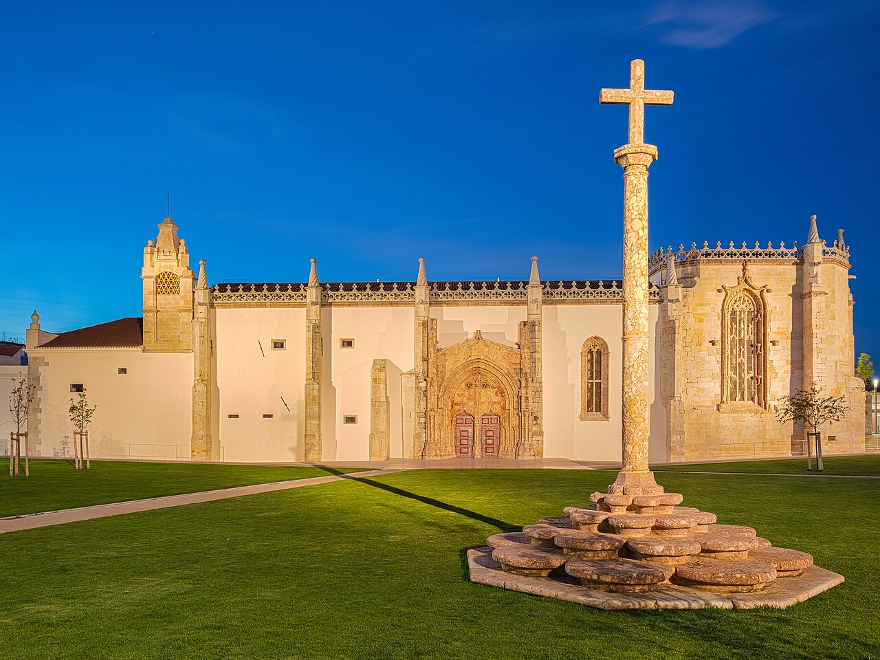
Looking at the completed façade, remember that construction was neither continuous nor straightforward. Its present completeness does not reveal the whole process.
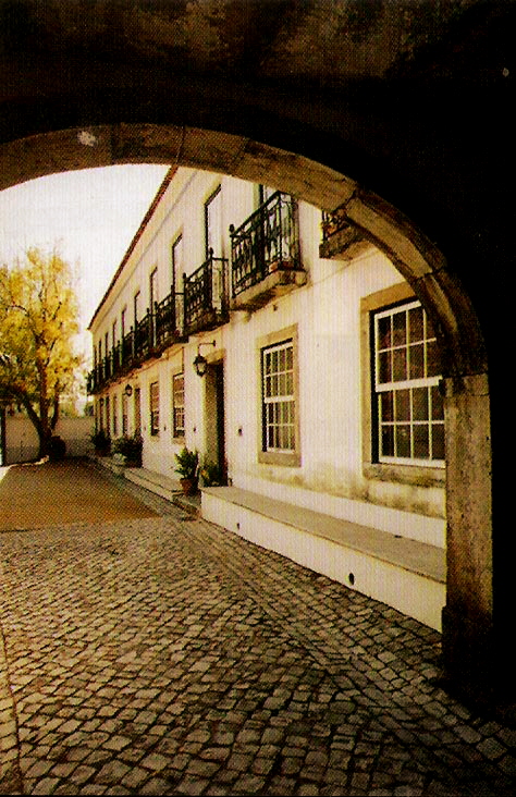
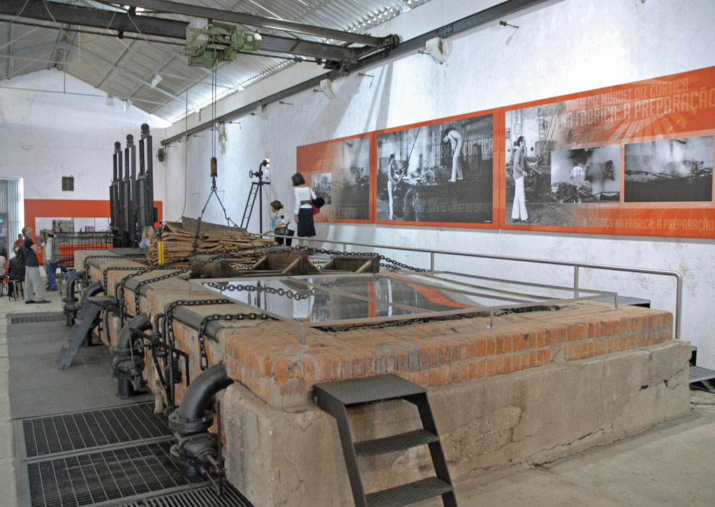
Núcleo da Mundet · Archive photographPhoto source and licence
Jean-Pierre Dalbéra from Paris, France · CC BY 2.0
Read the factory as a system: where materials entered, where people worked and how machinery occupied space. Historical interior photographs do not establish current access.
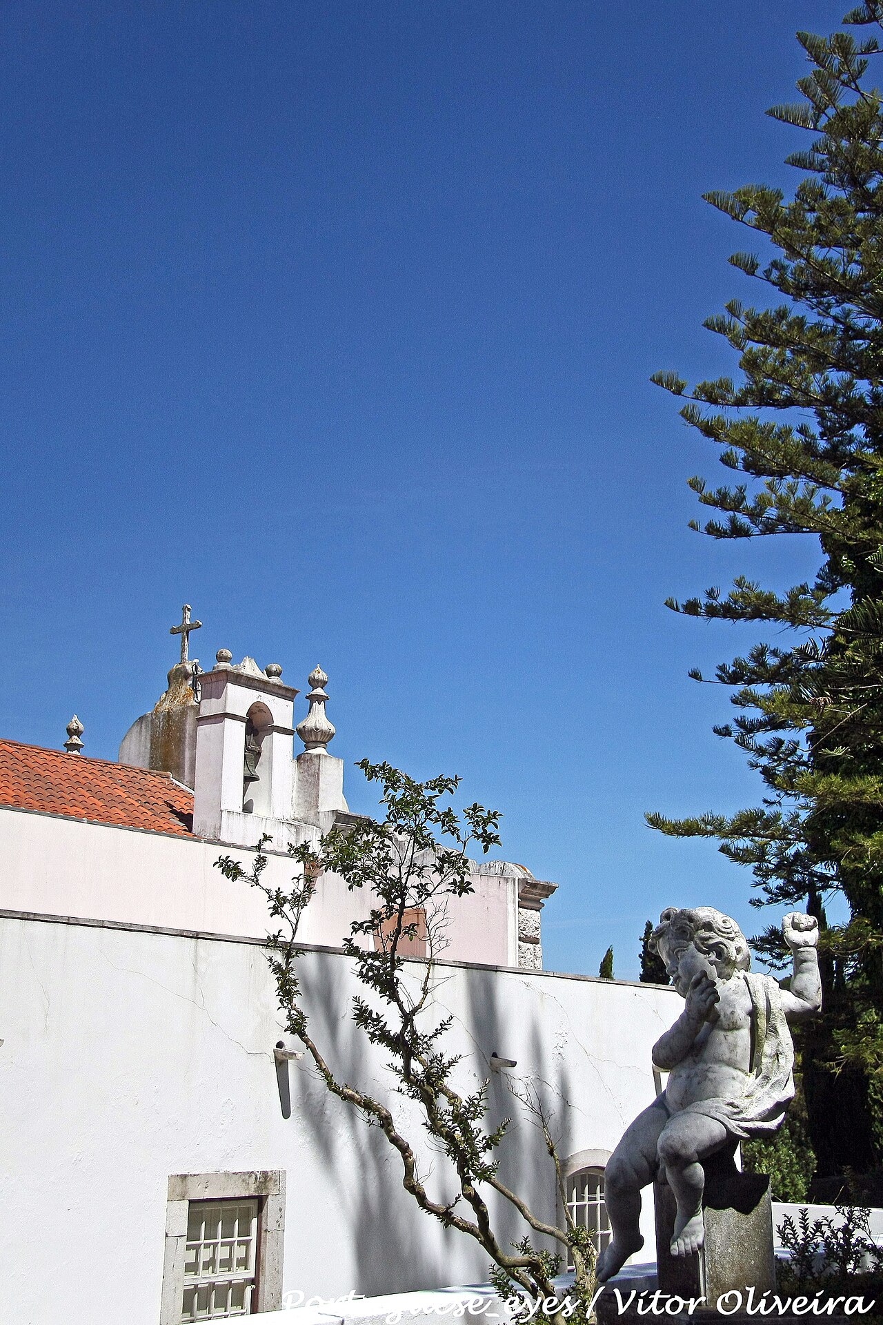
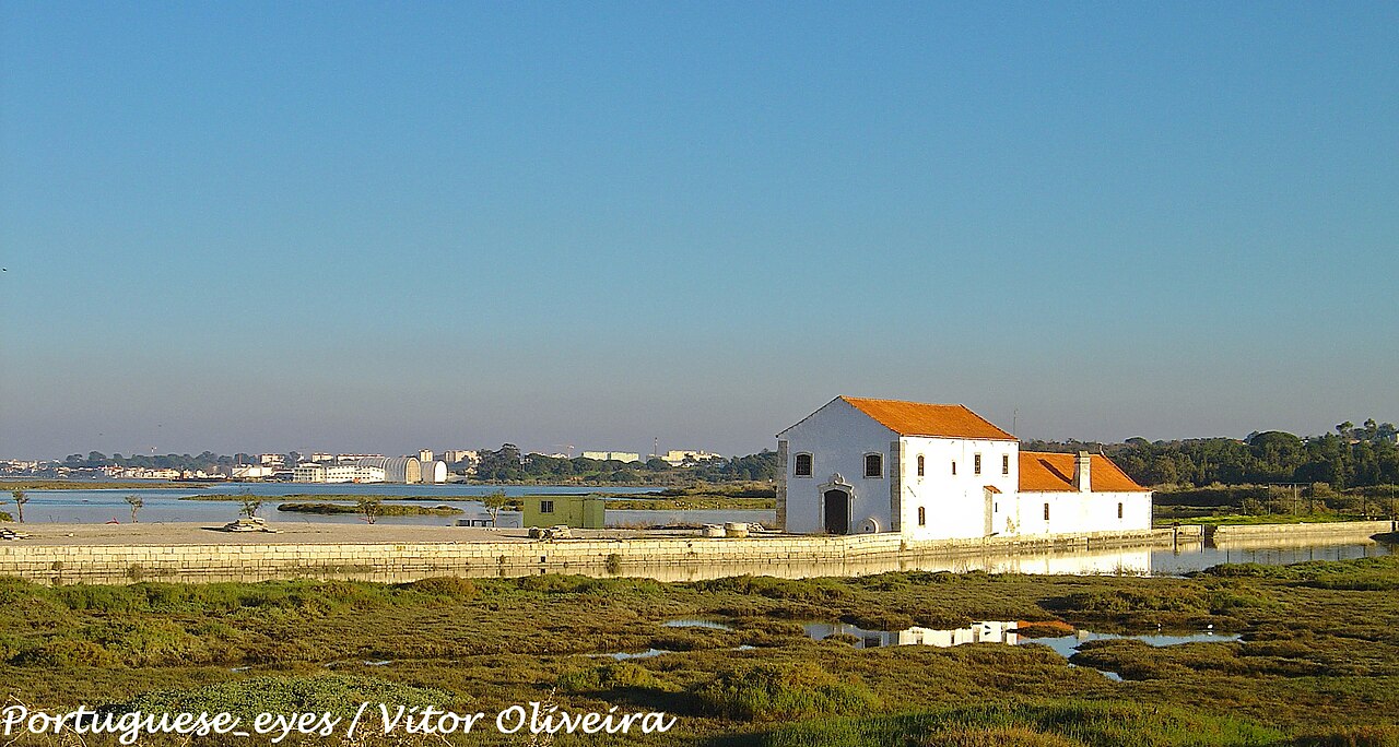
Moinho de Maré de Corroios · Archive photographPhoto source and licence
Vitor Oliveira from Torres Vedras, PORTUGAL · CC BY-SA 2.0
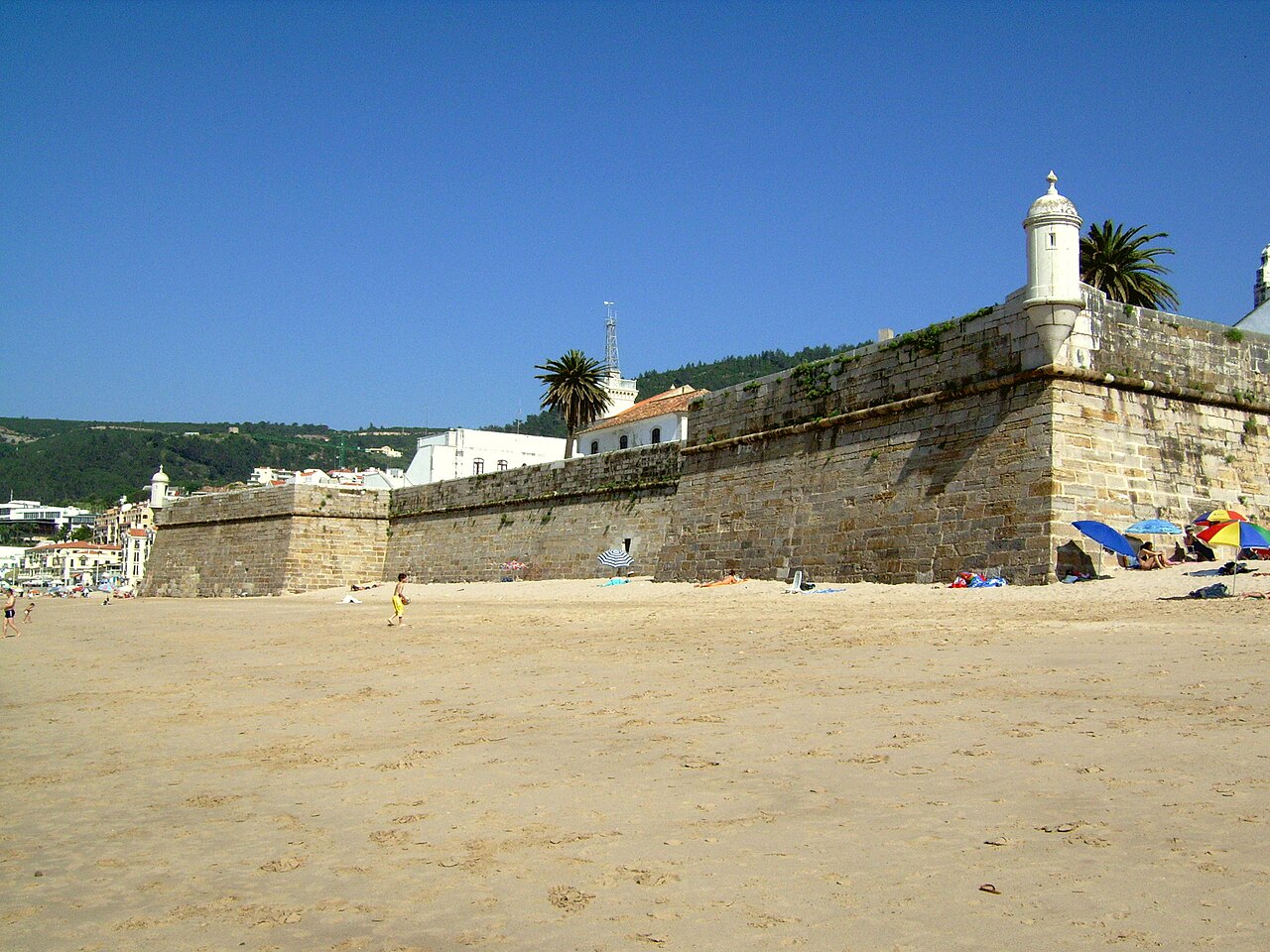
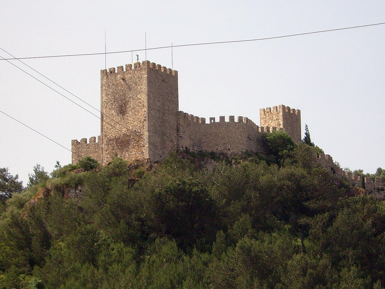
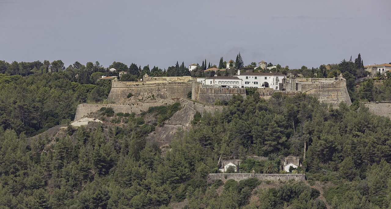
Looking toward the bay, consider both defensive advantage and the daily effort of climbing. Straight-line distance to the shore does not describe the walking route.
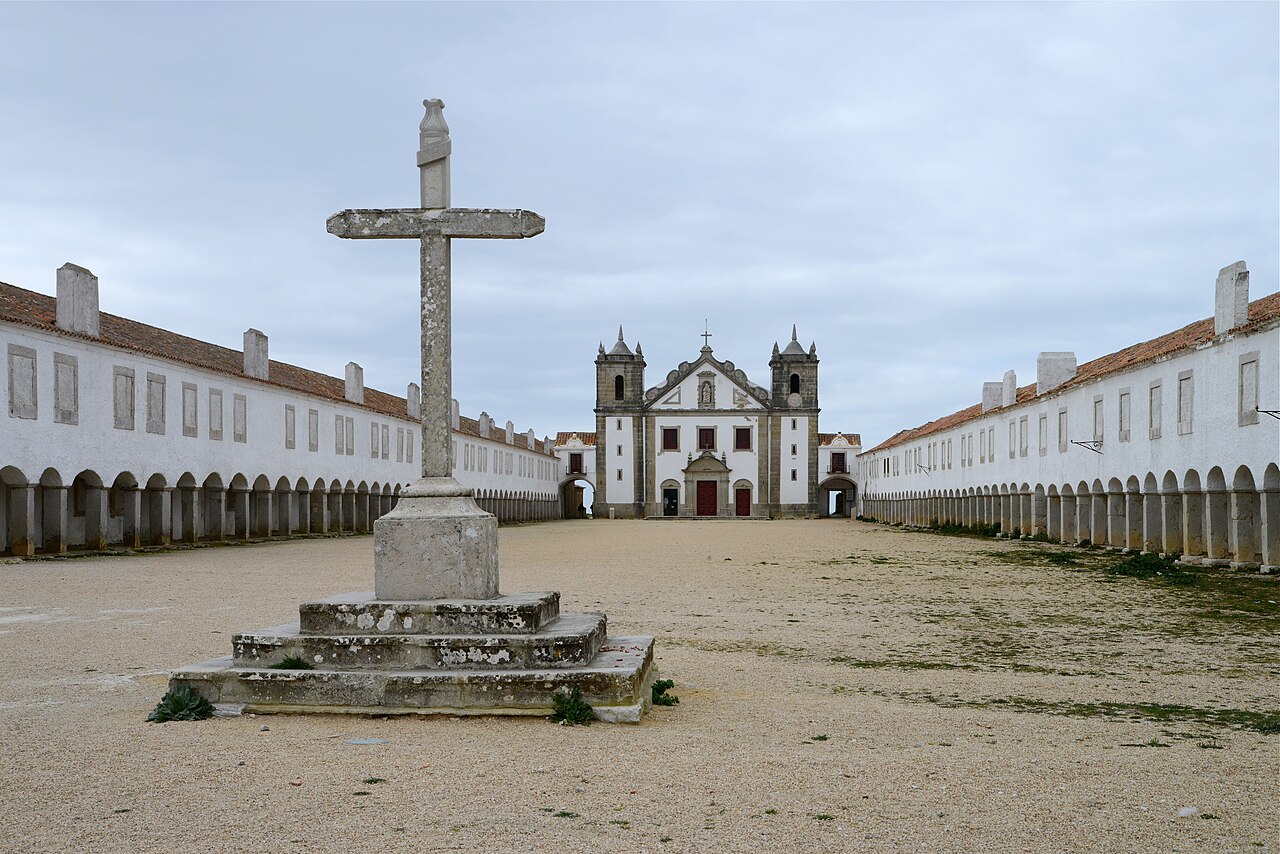
Santuário do Cabo Espichel · Archive photographPhoto source and licence
 XIAOXIONGMARKET← Setúbal Peninsula